shorelines
Collectively titled Shorelines, this body of work comprises four distinct series of paintings based on ideas and approaches that I thought about in 2012, developed and completed from 2013 to 2016, and exhibited in 2016 & 2017.
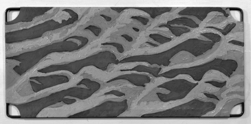
Beach Maps are a small sample of the infinite array of 'sculpted' surfaces that result from tidal action on sand as viewed in the evening light. The beach of note is an extension of Heather Beach on Nova Scotia's north shore. Seventeen 'beach maps', presented singly, in twos, threes or fours, are painted in split-complementary colours on identical, recycled, repurposed found-objects. Each module (6” x 13” or 6” x 6”) is plastic stretched over a wire frame and attached to the background by raised hooks. By ‘floating’ each module above a background, shadows are cast within the frame thereby enhancing their identity as objects rather than as mere two-dimensional paintings.
Beach Maps are a small sample of the infinite array of 'sculpted' surfaces that result from tidal action on sand as viewed in the evening light. The beach of note is an extension of Heather Beach on Nova Scotia's north shore. Seventeen 'beach maps', presented singly, in twos, threes or fours, are painted in split-complementary colours on identical, recycled, repurposed found-objects. Each module (6” x 13” or 6” x 6”) is plastic stretched over a wire frame and attached to the background by raised hooks. By ‘floating’ each module above a background, shadows are cast within the frame thereby enhancing their identity as objects rather than as mere two-dimensional paintings.
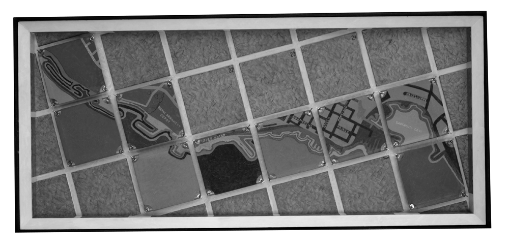
Harbours, a series of four paintings based on historical maps of the Halifax/Dartmouth harbour, assume a map's conventional aerial view and paying particular attention to the boundary between land and sea. In the case of Halifax harbour, the three paintings (acrylic on canvas and board, 31.5” x 31.5”) reference maps from the years 1750, 1762 and 1784. Dartmouth harbour (acrylic on board and found-objects, 22” x 48”) makes use of a 1957 map. All four paintings are framed under glass.
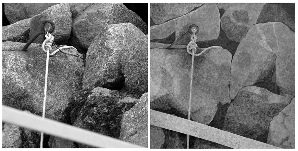
The Alignment paintings (30"x30" acrylic on canvas) assume a more intimate and pictorial view as they are based upon evidence of particular interactions at the shoreline. Ten canvases and one drawing reference specific locations along a diagonal line from a point on Nova Scotia’s north shore to a point on the south shore. Starting at Blue Sea and with a fulcrum at Marriotts Cove, the line moves south west via Great Village, Noel Shore, Marriotts Cove, Indian Point, West Lahave, Voglers Cove, Port Medway, Eagle Head and finally Western Head. A drawing (graphite on mylar 20.5" x 20.5") illustrates nine of the ten locations. For more detailed information see the Craig Gallery exhibition statements.
At this point, the notion of alignment evolved to become Misalignment: Harbourville, Chester, Little Harbour. Two companion pieces were produced for The Initial Show (July 2017), an exhibition of work by VANS' 2016-17 mentors and mentees. In these two works - a single-frame drawing (graphite and chalk pastel) and a tryptic (acrylic paint and ink on mylar) - three points triangulate from two shoreline locations synonymous with the arduous and dangerous work of in-shore fishing, and one point safely inland where the fruits of such labours are ostentatiously exploited, expended and enjoyed. When exhibited, the triangular element is misaligned thus:


